GEOG 1000 - Earth's Surface Environment
Earthquakes
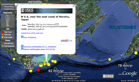 Magnitude – 6.4 Location – Near the East Coast of Honshu, Japan 38.932°N, 141.907°E Date - Saturday, July 23, 2011 Time - 04:34:24 UTC Depth - 38.6 km (24.0 miles) Type of Tectonic Plate Boundary – Oceanic-to-Continental Why - I can see on Google Earth, the trench that is near the earthquake. On Google Earth, it also shows an arrow that points to the trench showing that the east plate is going west into the Eurasian plate. Where the eastern plate is colliding with the Eurasian plate is oceanic and is going into a continent. ______________________________________________________________________ 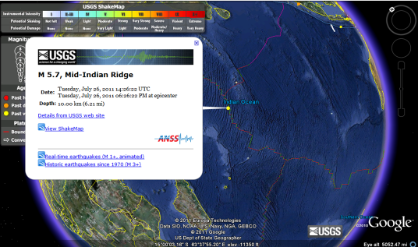 Magnitude – 5.7 Location – Mid-Indian Ridge 9.23°S, 67.10°E Date - Tuesday, July 26, 2011 Time - 14:26:24 UTC Depth - 10.0 kilometers Type of Tectonic Plate Boundary – Oceanic-Oceanic Why - This quake occured between two ocean plates. ______________________________________________________________________ 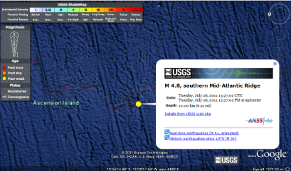 Magnitude – 4.8 Location – Southern Mid-Atlantic Ridge 14.076°S, 14.542°W Date - Tuesday, July 26, 2011 Time - 13:27:02 UTC Depth - 10 km (6.2 miles) set by location program Type of Tectonic Plate Boundary – Divergent Why - The map shows that it's on an ocean spreading rift. | 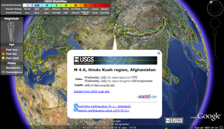 Magnitude – 4.6 Location – Hindu Kush Region, Afganistan 36.19°N, 69.49°E Date - Wednesday, July 27, 2011 Time - 03:17:17 UTC Depth -nbsp; 168.7 kilometers Type of Tectonic Plate Boundary – Intraplate Why - I can see that it happened within a continent. It's also not by any oceans so it can't be oceanic-to-oceanic. ______________________________________________________________________ 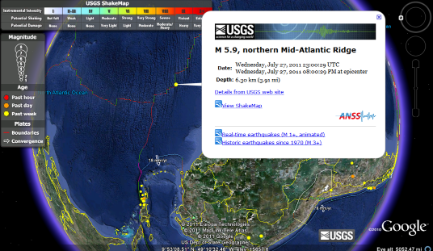 Magnitude – 5.9 Location – Northern Mid-Atlantic Ridge 10.73°N, 43.44°W Date - Wednesday, July 27, 2011 Time - 23:00:29 UTC Depth - 6.3 kilometers Type of Tectonic Plate Boundary – Transform Why - The map shows that it's on an ocean transforming fault. ______________________________________________________________________ 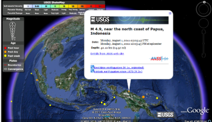 Magnitude – 4.9 Location – The North Coast of Papua, Indonesia 2.079°S, 139.004°E Date - Monday, August 01, 2011 Time - 03:03:43 UTC Depth - 40.1 km (24.9 miles) Type of Tectonic Plate Boundary – Continental-Continental Why - The map shows that it's lying on a continental convergence boundary.
|
Volcanoes
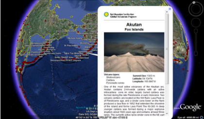
Name - Akutan Location - Fox Islands Type - Composite Volcano Tectonic Plate - Ocean-Continental
______________________________________________________________________ 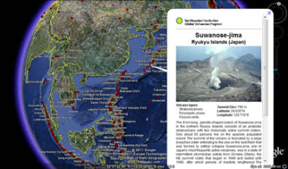
Name - Sawanose-jima Location - Japan Type - Cinder Cone Tectonic Plate - Oceanic-continental
| 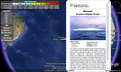
Name - Bouvet Location - Southern Atlantic Ocean Type - Shield Volcano Tectonic Plate - Oceanic-Oceanic
______________________________________________________________________ 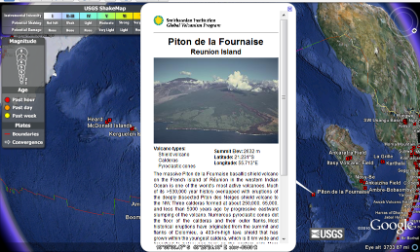 Name - Piton de la Fournaise Type - Caldera Location - Reunion Island Tectonic Plate - Oceanic-Oceanic
|
Reflection
I really loved this assignment. It didn’t seem to much of a hassle to me and it was awesome learning that Google Earth actually has more to it than just a map, terrain and directions. I didn’t know that you could view things like real-time earthquakes or see where the volcanoes of the world is. I thought it was really cool to learn about more volcanoes, I was always fascinated with them. I didn’t realize we had so many volcanoes on Earth or that there are so many earthquakes that happen. I learned that Japan has a lot of earthquakes all the time and some are very powerful, more than 6.0 sometimes. I knew that earthquakes had connections to volcanoes. When the plates collide with each other, it pushes land together and the land can either form upwards or do something else. When the land pushes together upwards, they can forms volcanoes. I knew that there were different types of volcanoes but I learned that they are so many volcanoes around the world that no one knows about. I also found islands that I didn’t know about. I learned places that has earthquakes but you never hear about. I knew that there were earthquakes and volcanoes that we never know about that is never in the news but I didn’t realize how many. It just made me realize, I should just go out and look for them myself if I wanted to see more or learn more about earthquakes and volcanoes. I realized that there are more than meets the eye in a program and that there’s so much that you can do with a GIS program.
